
Pennsylvania is 170 miles (274 km) north to south and 283 miles (455 km) east to west. Of a total 46,055 square miles (119,282 km2), 44,817 square miles (116,075 km2) are land, 490 square miles (1,269 km2) are inland waters, and 749 square miles (1,940 km2) are waters in Lake Erie. It is the 33rd largest state in the United States.
The bounds of the state are the Mason-Dixon Line (39° 43' N) to the south, the Delaware River to the east, 80° 31' W to the west, and the 42° N to the north, with the exception of a short segment on the western end, where a triangle extends north to Lake Erie. Pennsylvania borders six other states: New York to the north; New Jersey to the east; Delaware and Maryland to the southeast; West Virginia to the southwest, and Ohio to the west. Pennsylvania also shares a water border with Canada. Of the original Thirteen Colonies, Pennsylvania is the only state that does not border the Atlantic Ocean.
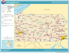
It has the cities of Philadelphia, York, Reading and Lancaster in the southeast, Pittsburgh in the southwest, the tri-cities of Allentown, Bethlehem, and Easton in the central east (known as the Lehigh Valley), the tri-cities of Scranton, Wilkes-Barre, and Hazleton in the northeast, and Erie in the northwest, Williamsport serves as the "hub" of the commonwealth's north-central region, with state capital Harrisburg on the Susquehanna River in the central region of the commonwealth.
No comments:
Post a Comment